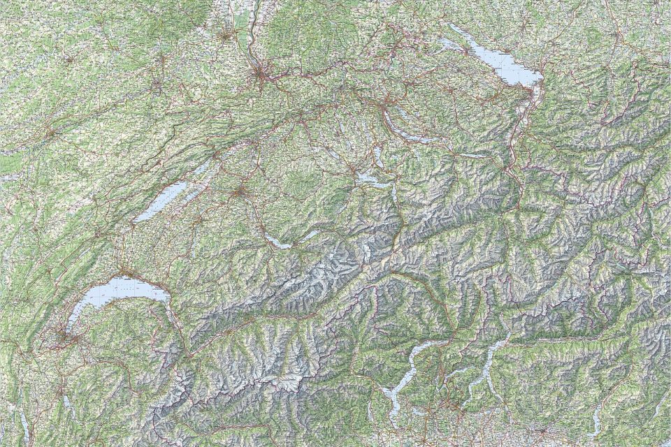
Overlanding, the slow, self-sufficient style of long-distance travel, sits at the intersection of the digital and the old-fashioned, and the problem is that route-planning apps and paper maps each do something the other cannot. The question is not which is better, but which one to reach for in a given moment, because a well-prepared overlander usually carries both.Route-planning apps excel at the big picture and the detail that changes, the live distances, the fuel stops, the elevation profiles, and the recent track reports from other travelers. They let you plan a multi-week route, adjust it on the fly, and see exactly how far the next reliable fuel is, which is the kind of information that keeps an overland trip moving and safe. The weakness is that they depend on a charged device, a working screen, and, for many features, a signal, all of which can fail in the remote places overlanding goes.A paper map never runs out of battery and never loses signal, and it shows the whole region at a glance in a way no small screen can.
It is the tool that works when the electronics do not, and it gives the geographic context, the alternate
Leave a Reply